


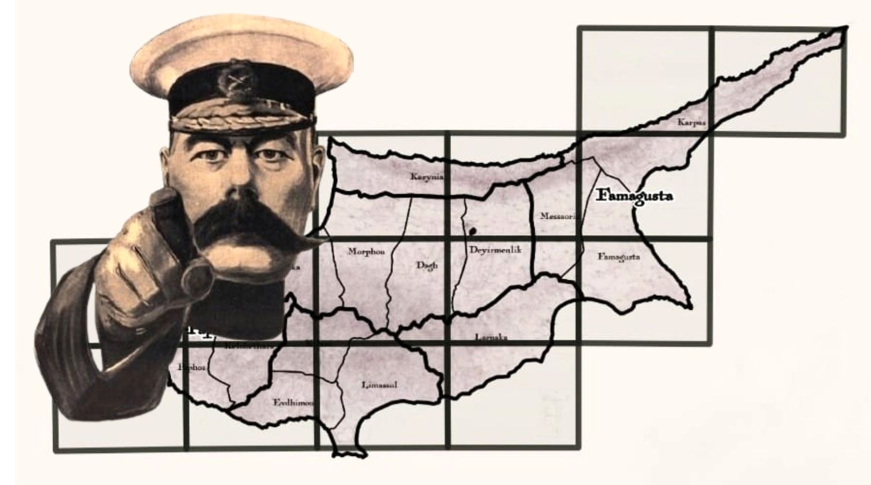
This isn’t just a map of Cyprus. It’s THE map!
The map that, for over 100 years, defined how our island was seen, measured and governed . The map that laid out not just borders and boundaries, but distinct lines of power that – even today – echo through our land, our identity, our past.
For the late 1800s, it’s an astonishing piece of work: every village, valley and ridge